Drones Offer a New Way to Study the NC Coast
By now, we’re accustomed to the amazing aerial photos and videos that drones make possible.
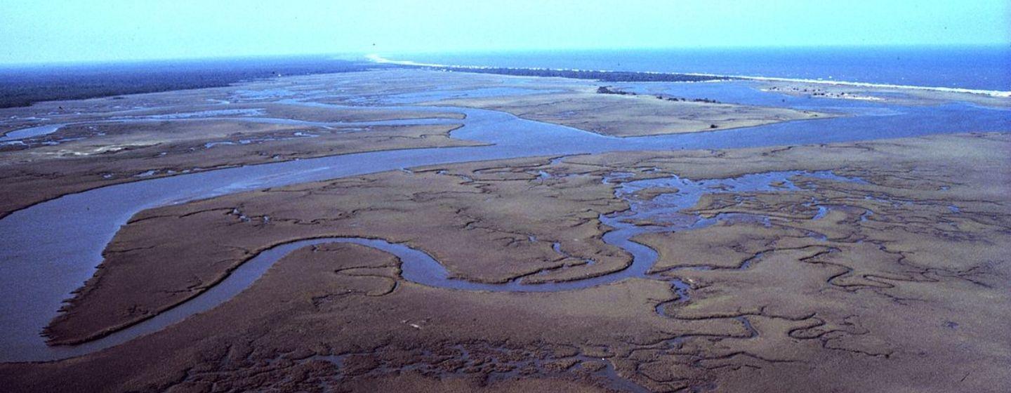
What you may not realize, however, is that drones can also collect scientific data. The Center for Marine Sciences at UNC Wilmington (UNCW) has launched a program to do just that.
The UAS Coastal Observatory utilizes drone technology to map North Carolina’s coastal ecosystem. (UAS stands for “unmanned aircraft systems.”) UNCW is the first university in the Southeast to have such a system thanks to an $850,000 grant from the National Science Foundation.
“All of our research activities will include and train students, benefit our community and benefit the global science community,” said Narcisa Pricope, Ph.D., who led the initiative that created the UNCW Geospatial Intelligence (GEOINT) Certificate Program. “Empowering students with these high-demand skills will increase their competitiveness in coastal engineering, geography and environmental science job markets and expand representation in the rapidly growing UAS and geospatial employment fields,” said Phil Bresnahan, Assistant Professor and Director of the UNCW Coastal Drone Observatory Program.
The UAS Coastal Observatory will utilize three off-the-shelf, commercial drone platforms equipped with four complementary remote sensors and other instrumentation that can study the coastal ecosystem in unprecedented ways from both the air and the ground.
The lab is designed to be a place where researchers and government agencies can come to use uncrewed aircraft systems to gather data in new ways. The sensors will acquire valuable visual data in addition to infrared and thermal data not seen with the naked eye.
For example, researchers will be able to study water quality by using the observatory’s sensors and drone platforms to map submerged aquatic vegetation and harmful algae blooms.
The UAS Coastal Observatory will focus on several areas related to coastal resilience and sustainability, including:
Census data shows almost 40% of the U.S. population lives near the coast, even though coastal areas make up only 10% of the contiguous United States. Researchers believe their findings can reveal areas that are most vulnerable to climate change and where resources should be focused. That way lives, property and infrastructure can be saved all while doing data collection for scientific research.